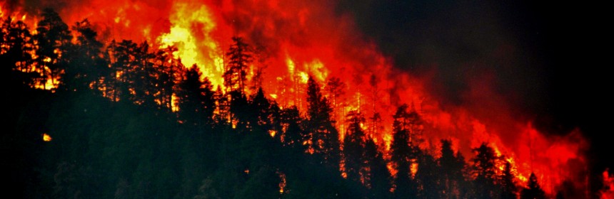
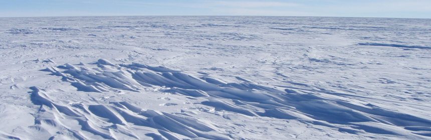
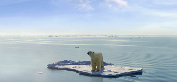
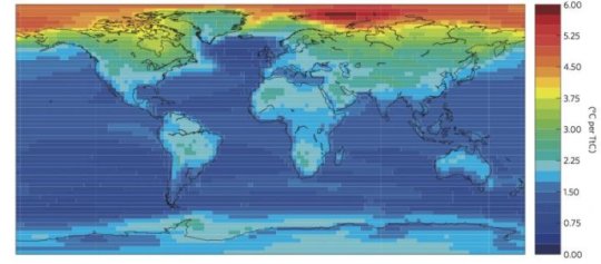
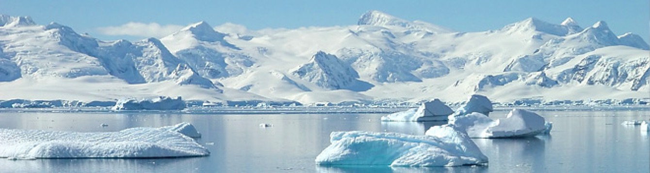
Record-Breaking Heatwave Causes Intense Arctic wildfires

Uncontrolled wildfires ravage the Arctic

More than 100 intense Arctic wildfires have ravaged the Arctic since June, with scientists describing them as “unprecedented.” Satellite images show huge clouds of smoke billowing across uninhabited Arctic land in Greenland, Siberia and parts of Alaska. The wildfires come after the planet experienced the hottest June on record and is on track to experience the hottest July on record, […]

Read more

Planet Has More Trees

Planet Has More Trees

The last study showed that the world has about 3 trillion trees.  That is over the estimate of 400 billion in previous studies.  Researchers did a count by actually going out and physically counting trees, using satellite imagery, ground survey, and national forest inventories.  Even though we have lost trees from fires, drought, and insect outbreaks there are still more […]

Read more

Rising Ocean Temperatures

Rising Ocean Temperatures

Scientists have recorded that the temperature of the oceans has been on the rise.  The temperatures have been rising at a rate of 40% on average over what they previously predicted over the past five years.  The year 2018 was warmer than the previous year and it’s still getting warmer.  Heating of the ocean plays a big role in climate […]

Read more

Impact of human activity on local climate mapped

Earth’s temperature has increased by 1°C over the past century, and most of this warming has been caused by carbon dioxide emissions. But what does that mean locally? A new study published in Nature Climate Change pinpoints the temperature increases caused by CO2 emissions in different regions around the world. Using simulation results from 12 global climate models, Damon Matthews, […]

Read more

Antarctica’s ice sheet and The Landscape Below

Aerial view of rugged mountainous terrain with glacial water in between the peaks.

A groundbreaking new map offers an unprecedented glimpse beneath Antarctica’s ice sheet, revealing the continent’s hidden topography with remarkable precision. This high-resolution terrain map, known as the Reference Elevation Model of Antarctica (REMA), was released by researchers at the National Geospatial-Intelligence Agency in September 2018. The REMA provides detailed imagery down to the size of a car in some areas, […]

Read more

Carbon rise keeps water in drylands

The drylands of the world are getting greener, and researchers think it is thanks to higher levels of carbon dioxide in the atmosphere. In a paradoxical discovery, even as landscapes become increasingly at risk of desertification, they may also look more luxuriant. Two scientists from Purdue University in Indiana, US, and a researcher in Saudi Arabia report in the journal […]

Read more

Drastic climate change

An analysis of isotopes in marine fossils from around the world yielded the most complete record of Earth’s temperatures yet—and showed that the planet is heating up at a rate unprecedented in the past 11,300 years. Scientists say that if it weren’t for greenhouse gas emissions, a cooling trend that began 5,000 years ago after a shift in the planet’s […]

Read more
1 2 3 12